📍 Location: Sausalito Ferry Terminal → Tiburon Waterfront → Paradise Drive Loop (Marin County, CA)
📅 Season: June – August 2026 (Best weekends: Saturday–Sunday mornings & late afternoons)
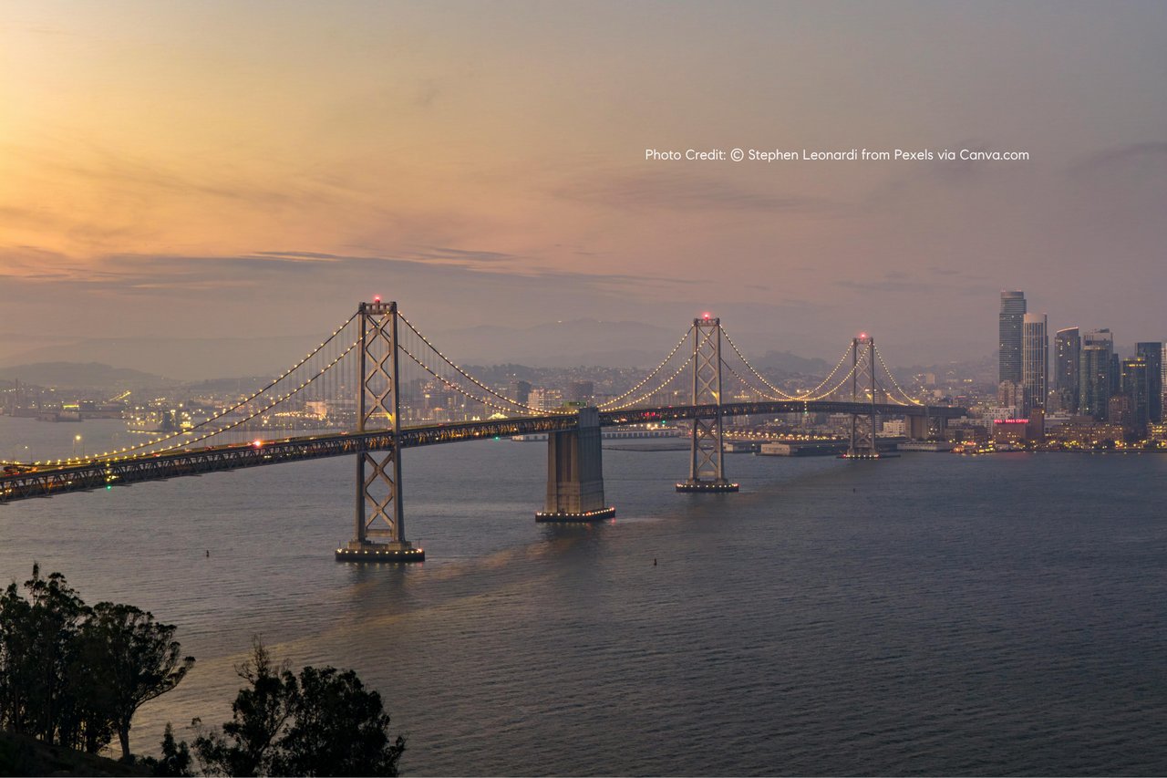
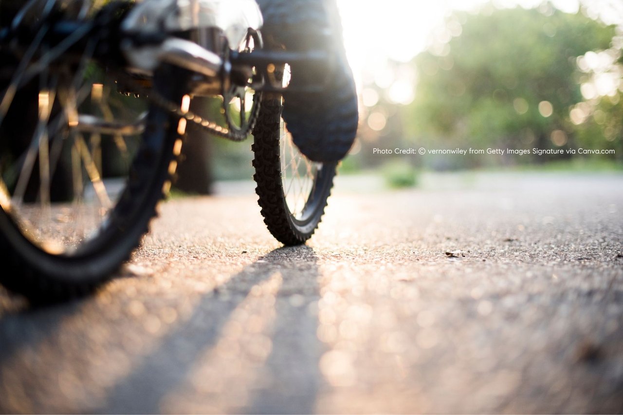
The Sausalito–Tiburon coastal corridor is one of the most consistently popular summer cycling routes in Marin County, combining waterfront paths, minimal elevation, and direct access to some of the best casual dining spots on the bay.
During the summer months, weekends naturally become the peak time for cyclists, walkers, and visitors moving along the shoreline between Sausalito and Tiburon.
🚴 Recommended Route (Most Common Local Loop)
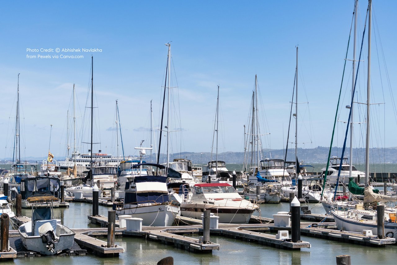
Start: Sausalito Ferry Landing (Bridgeway Blvd)
Most riders begin here after arriving from San Francisco by ferry or car. Bike rentals are available within a 2–5 minute walk from the terminal.
Segment 1: Sausalito → Marinship Park (1.5 miles)
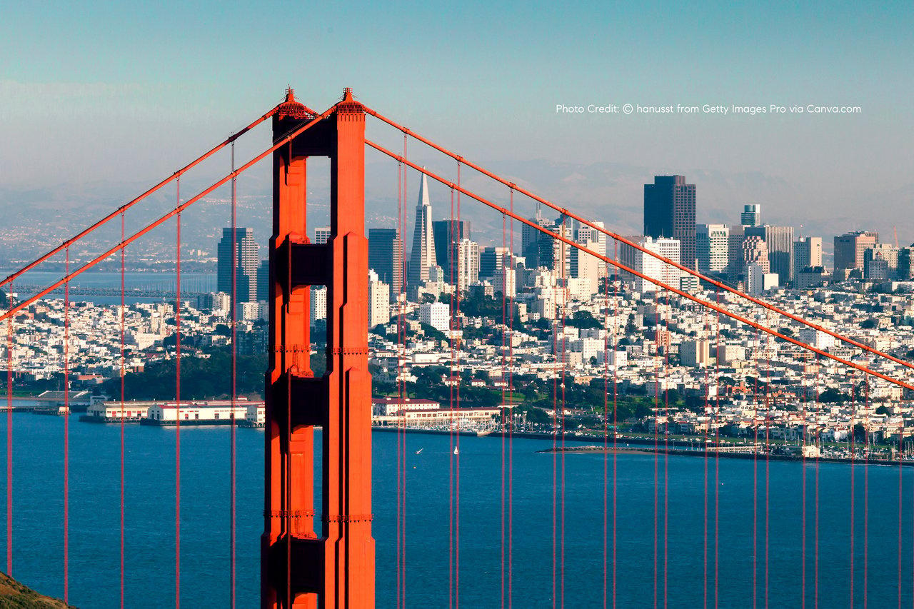
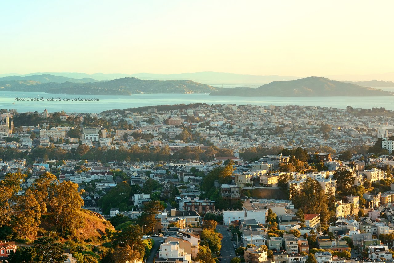
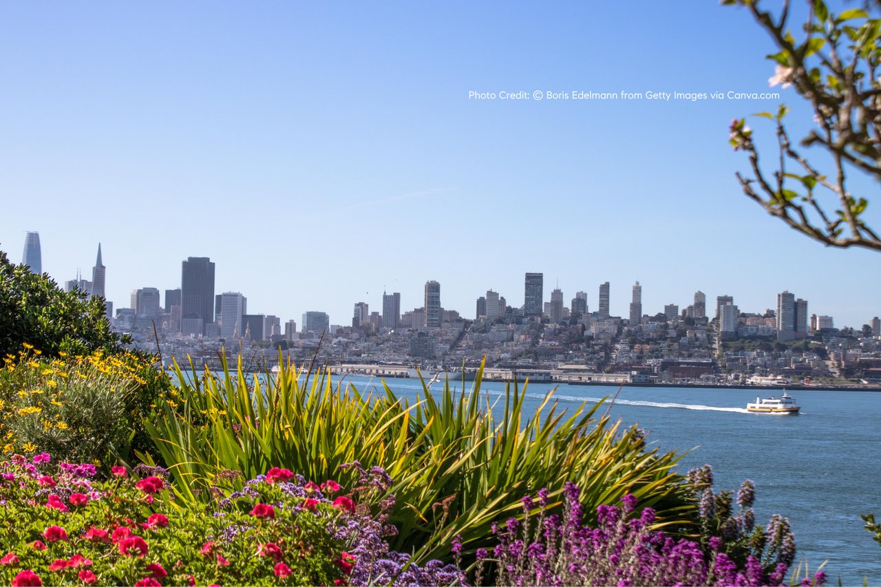
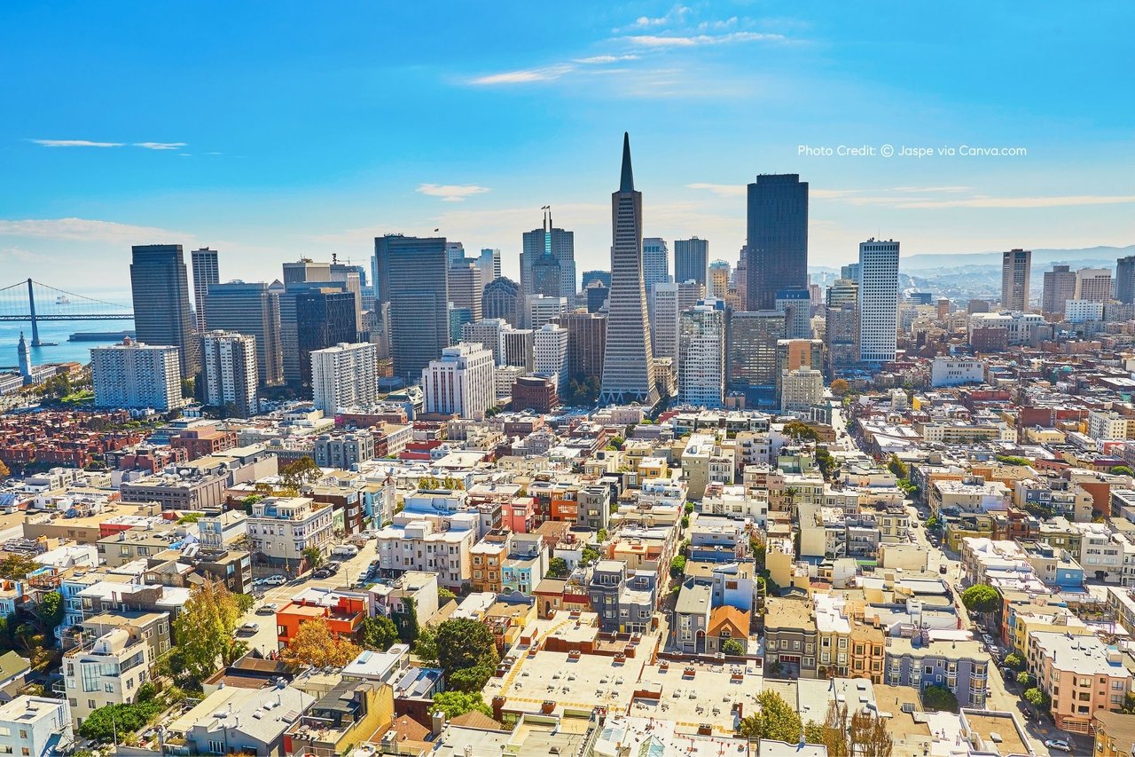
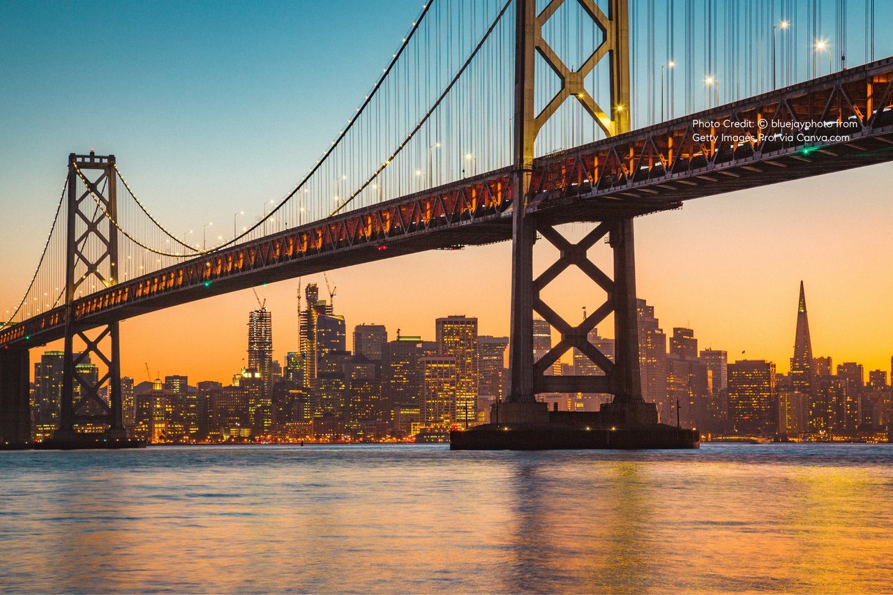
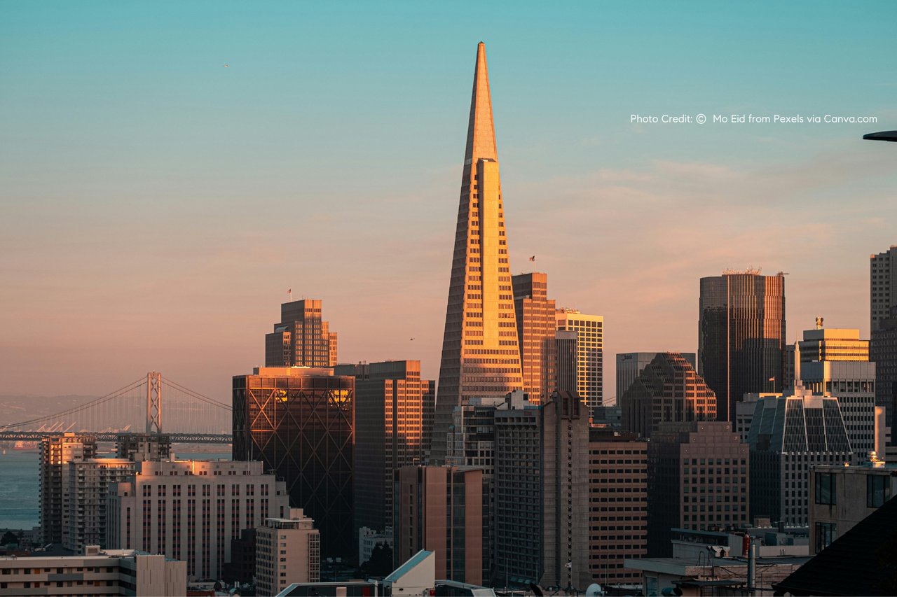
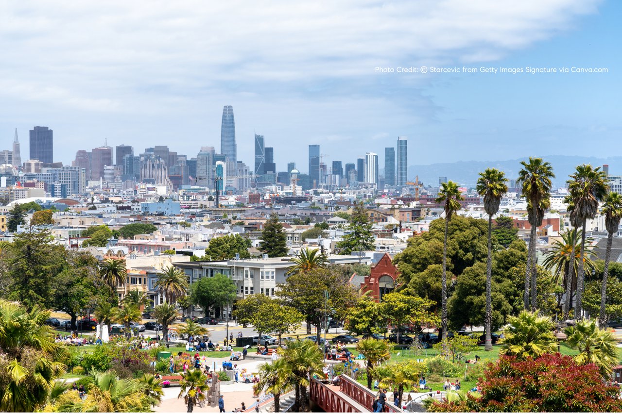
A flat, scenic ride along Bridgeway with immediate views of the San Francisco skyline, Alcatraz, and Angel Island.
Stop Option: Marinship Park
- Waterfront rest area
- Kayak launch point
- Open space with Golden Gate Bridge views
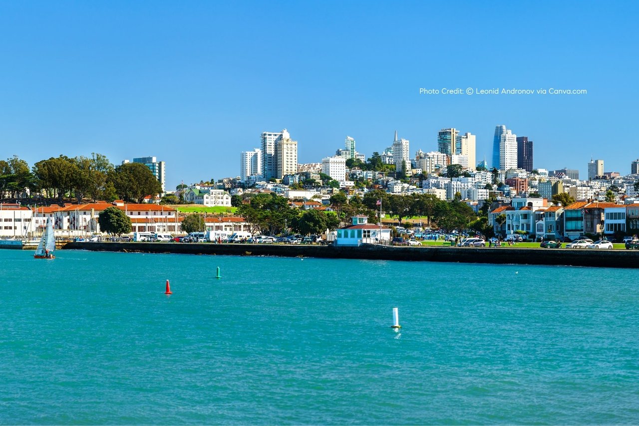
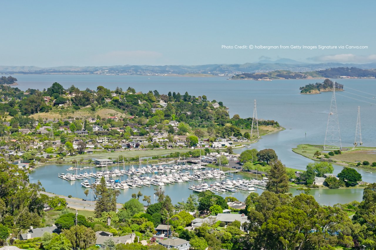
Segment 2: Marinship → Tiburon Ferry Dock (5.5 miles via SF Bay Trail)
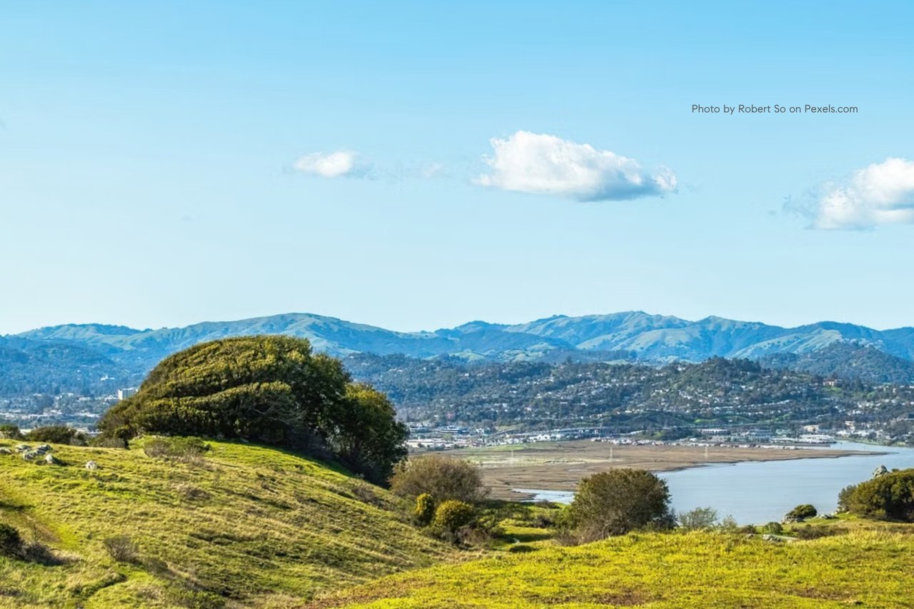
This section follows the SF Bay Trail, a dedicated multi-use path running parallel to the shoreline. It is the most scenic portion of the ride, with continuous bay views and minimal traffic interaction.
Along the way you pass:
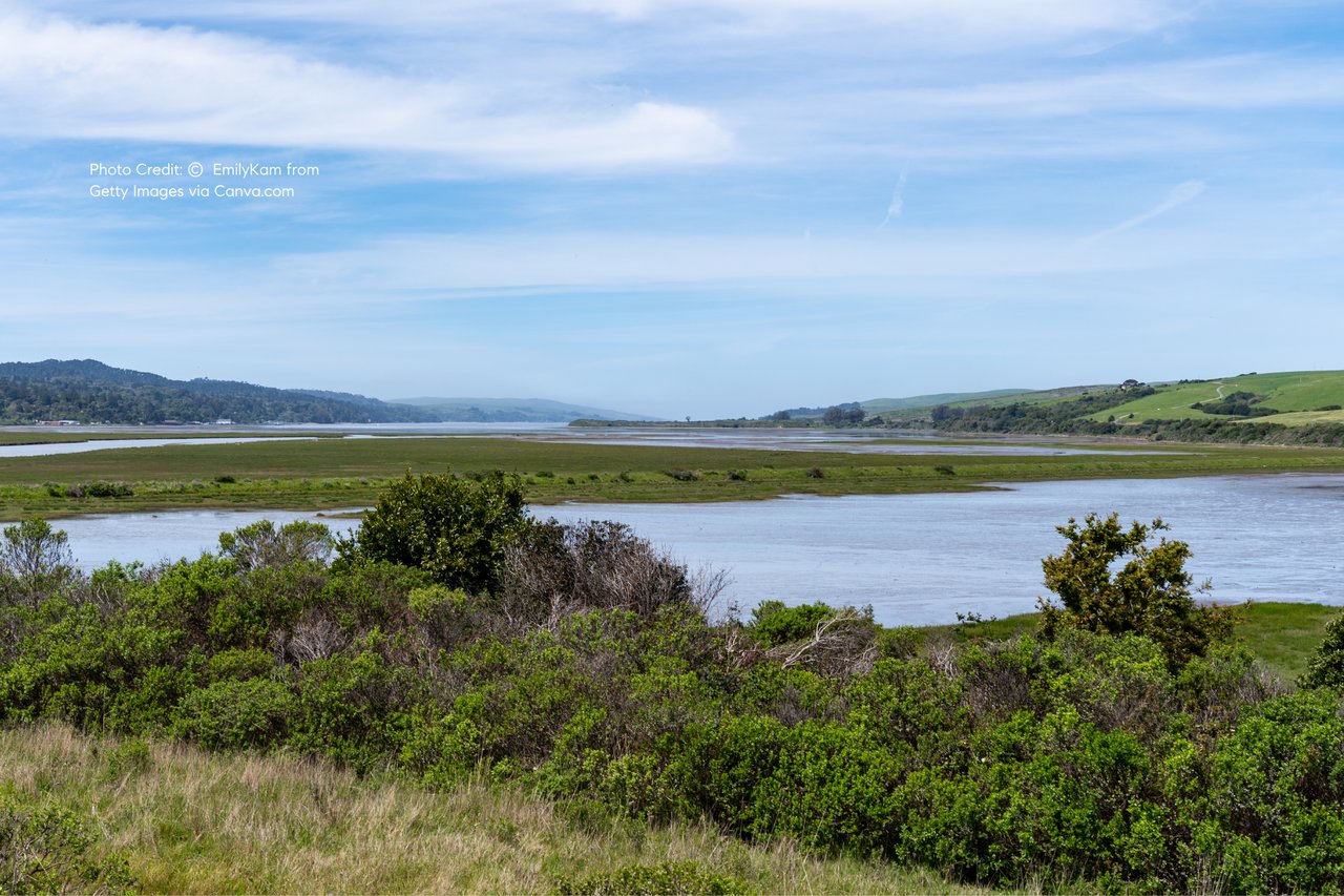
- Richardson Bay wetlands (birdwatching area)
- Strawberry Point viewpoints
- Multiple shoreline picnic spots
Destination: Tiburon Main Street Waterfront
Tiburon is the main turnaround point for most riders.
☕ Key Stops in Tiburon:
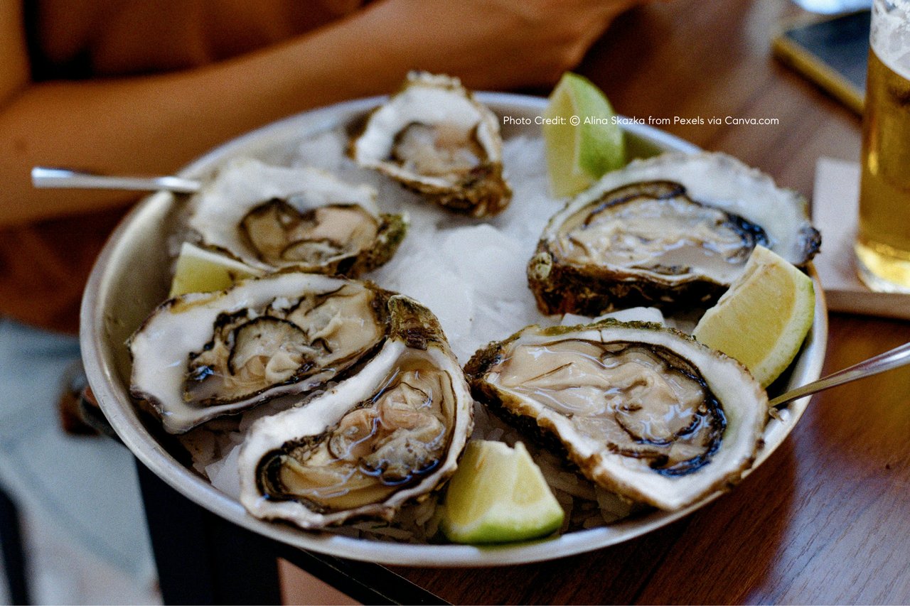
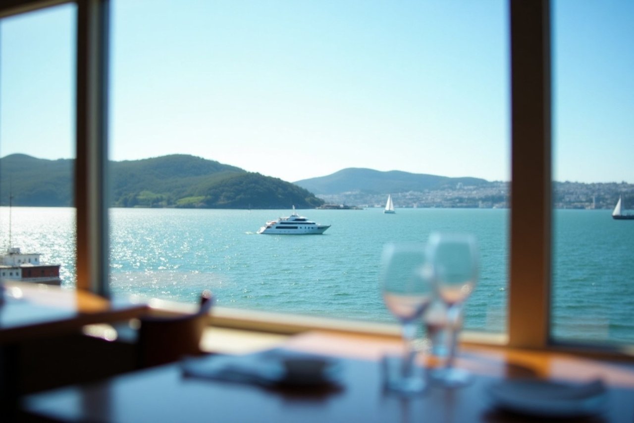
- Sam’s Anchor Café — waterfront dining directly over the bay (classic post-ride stop)
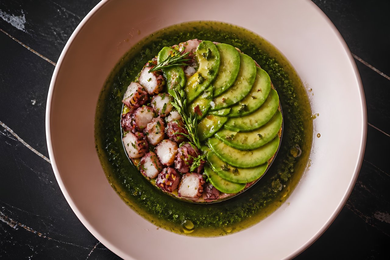
- Luna Blu — Italian café with outdoor seating on Main Street
- The Bungalow Kitchen by Michael Mina — upscale bay-view dining
- Tiburon Ferry Plaza — open-air seating, coffee, and light bites
Optional Extension: Paradise Drive Loop (6–10 miles additional)
For more experienced riders, Paradise Drive offers a rolling hillside route above the water with wider views of San Francisco, Belvedere Island, and Richardson Bay.
Key highlights:
- Elevated panoramic viewpoints
- Light residential traffic
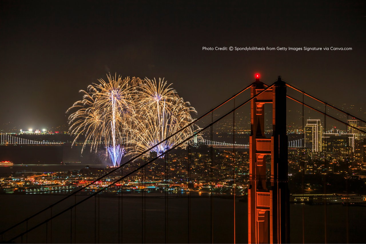
- Sunset visibility points over the Golden Gate
🌅 Best Time to Ride
- Morning (8:00–10:30 AM): quiet, cooler temperatures, low foot traffic
- Late afternoon (4:00–7:30 PM): strongest light, sunset views over SF skyline
- Avoid midday weekends: heavier pedestrian + tourist traffic in Sausalito
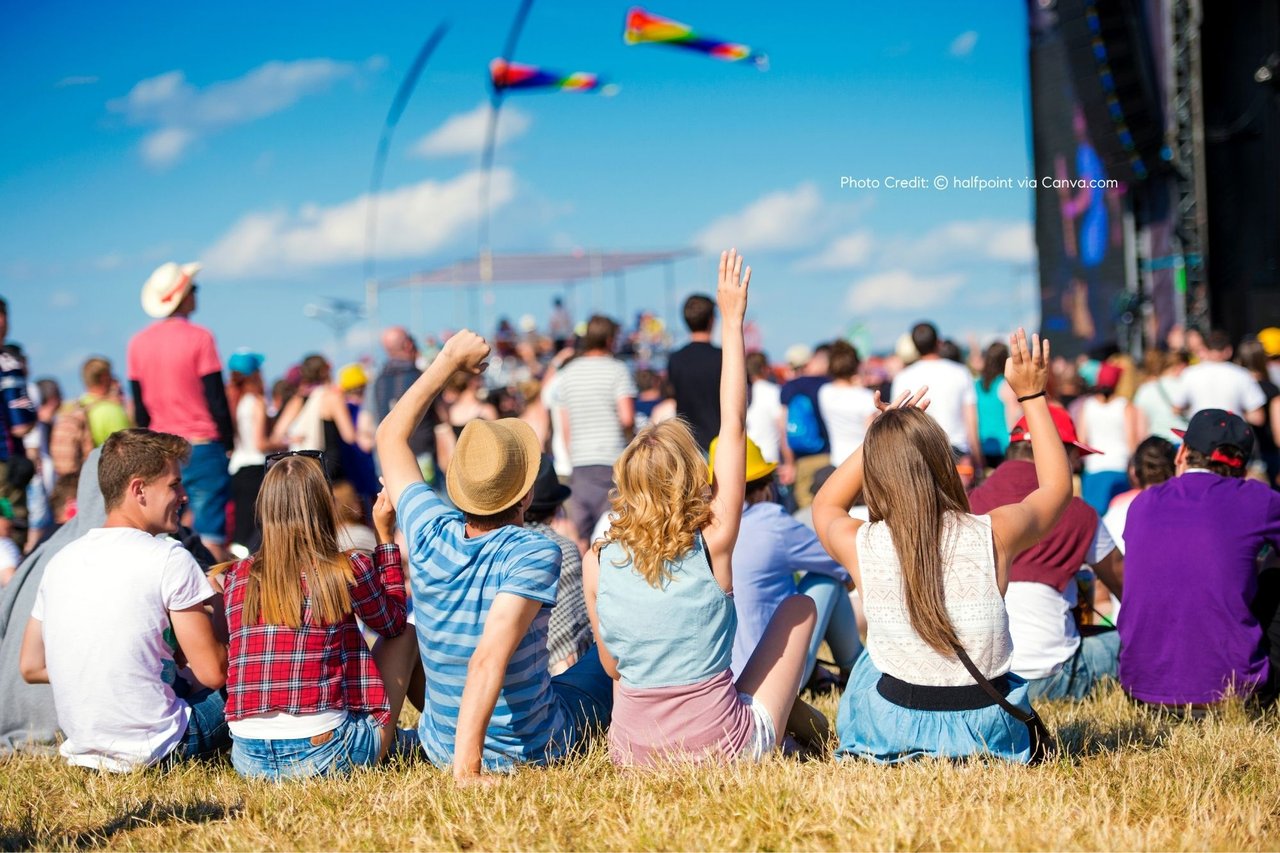
🚶 Food + Weekend Culture Along the Route
Unlike structured events, this corridor becomes a natural weekend gathering zone in summer:
- Sausalito: cafés, bakeries, and waterfront brunch spots
- Richardson Bay: casual picnic stops along the trail
- Tiburon: full waterfront dining culture with outdoor seating and ferry activity
- Pop-up weekend energy: street musicians, casual vendors, and seasonal crowds
🚤 Bonus Access Option: Ferry + Bike Combo
A popular local approach:
- Ferry from San Francisco → Sausalito (approx. 30–35 minutes)
- Bike ride Sausalito → Tiburon
- Return via ferry from Tiburon or reverse route
This creates a full half-day experience without needing a car.
✨ Why This Route Stands Out
What makes the Sausalito–Tiburon corridor unique is how naturally it blends activity and lifestyle. It’s not a closed event or festival—it’s a repeating summer rhythm shaped by geography, weather, and local culture.
Within a single ride, you experience:
- San Francisco skyline views
- Protected bay wetlands
- Waterfront dining culture
- Quiet residential coastal roads
- Ferry-connected urban access
For many Marin County residents and Bay Area visitors, this is the most accessible “escape without leaving the Bay Area.”