If you've been house hunting in Petaluma with half an eye on the SMART train, you've probably absorbed the standard logic: better transit access should narrow a price gap over time. Give a cheaper part of town its own train station, and buyers eventually bid it up toward the pricier side. That's the story infrastructure investment is supposed to tell.
Petaluma isn't telling that story. East Petaluma spent eight years without any station of its own, finally got one in January 2025, and then got a meaningfully bigger service boost in April 2026. The price gap between east and west didn't shrink. On a price-per-square-foot basis, it may have widened. That gap is worth understanding before you write an offer on either side of town, because it tells you what's actually setting prices here, and it isn't the train.
A Station That Took Eight Years to Reach the East Side
When SMART's first Sonoma County trains started running in 2017, Petaluma got exactly one stop: Petaluma Downtown, built next to the 1914 Northwestern Pacific Railroad depot on Lakeville Street. That's the historic core, the walkable side of the river, the part of town now generally referred to as West Petaluma.
Local frustration with that lopsided rollout showed up in the Petaluma Argus-Courier before the trains even started running, with a 2016 opinion piece arguing that the rail line was reaching only half the city and pushing for a second station somewhere on the east side, near the business parks and housing tracts where a large share of residents actually lived. The idea took years to become funding, then a groundbreaking in November 2023, then a new platform at Corona Road and North McDowell Boulevard. The result, Petaluma North, didn't open until January 10, 2025, becoming the 13th station on the SMART line and giving the city's east side its first direct rail access.
Eight years is a long time for one side of a city to wait on the same public transit line that's already running through its neighbor.
What Actually Opened in January 2025
Petaluma North sits inside a residential corridor at Corona Road and North McDowell Boulevard, a few minutes' walk from Lagunitas Brewing Company's taproom on North McDowell. It was built specifically to serve east-side commuters and residents who previously had to drive or bus across town to reach the Downtown platform.
The City of Petaluma is now running a formal planning process around that station, called the Petaluma North SMART Station Priority Development Area Specific Plan. Community meetings through 2026 have focused on what the city calls the Transit Village and Health District subareas, exploring mixed-use housing and better pedestrian and bike connections along North McDowell Boulevard. In plain terms, the city is trying to build the kind of walkable density around the new station that the west side got organically, decades before SMART ever existed.
2026 Added Frequency, Not Just a New Stop
A station without decent service doesn't move many people, and that's where 2026 mattered. On April 12, 2026, SMART and eight other regional transit agencies rolled out the Marin-Sonoma Coordinated Transit Service plan, known as MASCOTS, which pushed SMART to 24 weekday round trips with earlier morning departures, later evening runs, and tighter timed connections to Golden Gate Transit buses and the Larkspur ferry. That's a real jump from the 2019-era schedule of roughly 19 weekday round trips, and it applies to both Petaluma stations equally.
So by the middle of 2026, an east-side commuter near Petaluma North had something the neighborhood never had before: a five-minute walk to a platform, a train running through most of the day rather than just rush hour, and a coordinated transfer to a ferry that lands in San Francisco.
The Numbers a Transit Story Was Supposed to Change
Here's where the assumption runs into the data. Looking at the three-month windows ending in June and July of 2026, the price divide between Petaluma's east and west sides hasn't closed. If anything, the west side's premium looks sharper than a simple citywide average would suggest.
| Submarket | Median sale price | Price per square foot | Window |
|---|---|---|---|
| Petaluma citywide | $900,000 | $527 | 3 months ending June 2026 |
| West Petaluma | $1,230,000 | $717 | 3 months ending July 2026 |
| Northeast Petaluma | $812,000 | $562 | 3 months ending June 2026 |
| Southeast Petaluma | $917,000 | $471 | 3 months ending June 2026 |
West Petaluma is running roughly 36 percent above the citywide median on price and about 36 percent higher on price per square foot. Southeast Petaluma, by contrast, has a median sale price close to the citywide figure but the lowest per-square-foot cost of the group, which tells you buyers there are getting noticeably more house for the dollar even though the sticker price looks similar.
None of this moved because a train station opened nearby. The west side was already commanding a premium before Petaluma North existed, and it still is more than a year after the station opened and several months after service frequency doubled from its pandemic-era low. What's setting price here isn't proximity to rail. It's the historic downtown, the walkable blocks lined with iron-front buildings and older housing stock, and a version of Petaluma that existed long before SMART ever laid track.
What Your Down Payment Actually Buys on Each Side
The practical version of that story looks like this. On the west side, in neighborhoods like Midtown, the Western Petaluma pocket sometimes called Cherry Valley, and the Liberty Valley area northwest of downtown, you're buying into older housing stock, often 1930s through 1970s construction, smaller lots, and a walk to the river, the historic downtown shops, and the original 1914 depot that still houses the visitor center and the Petaluma Arts Center. You pay a premium per square foot for that proximity, and the current data shows that premium isn't shrinking.
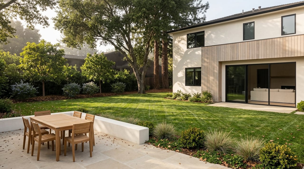
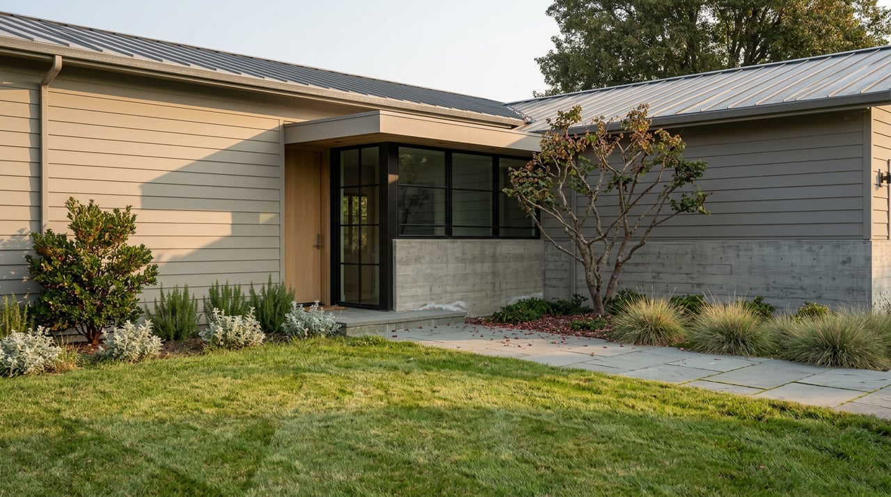
On the east side, in Northeast Petaluma, Southeast Petaluma, and the Oakhill Brewster area, homes tend to run newer, larger, and cheaper per square foot. This is also where you'll find Santa Rosa Junior College's Petaluma campus and the business parks that give the east side its own daytime population, separate from downtown tourism and retail. Now it's also where the newer, more frequent train service actually lives, at Petaluma North rather than at the older Downtown platform.
If a bigger floor plan for the same budget matters more to you than a five-minute walk to a coffee shop, the east side is doing exactly what a value submarket is supposed to do. It just isn't converting that value into a smaller price gap yet.
If You're Choosing a Side Right Now
Don't assume Petaluma North's frequency bump is going to compress the west side's premium in the near term. The data through mid-2026 shows the opposite trend, and a planning process that's still in its community-meeting phase at the Priority Development Area level won't translate into built density or a shifted price curve for years.
If your priority is square footage per dollar and a workable commute now that MASCOTS has filled in the evening and midday schedule, the east side is worth serious attention, particularly around Southeast Petaluma where the price-per-square-foot gap versus the city median is currently the widest in your favor. If walkability to a genuinely historic downtown is non-negotiable for how you want to live day to day, budget for the west side's premium as a fixed cost, not something a new train station two miles away is likely to erode.
A Few Questions Worth Asking Before You Choose a Side
Will the east side's prices eventually catch up to the west side now that it has its own station? The current data doesn't support that yet. The west side's premium predates Petaluma North and has held steady through its first full year of operation and the April 2026 service increase. Long-term shifts driven by the city's Transit Village planning process around Petaluma North are possible, but they depend on future development approvals, not on the station's existence alone.
Does Petaluma North actually shorten a commute to Marin or San Francisco? It gives east-side residents a shorter drive or walk to a platform rather than crossing town to Petaluma Downtown. Once you're on the train, the trip south to Larkspur and the ferry connection to San Francisco runs the same schedule regardless of which Petaluma station you boarded at.
What exactly counts as "West Petaluma" versus "East Petaluma" for pricing purposes? There's no single official boundary, but in practice west-side pricing data typically covers the historic downtown core, Midtown, and the neighborhoods northwest along the river, while east-side data covers the newer subdivisions and business-park-adjacent tracts on the far side of Highway 101.
If you're weighing a move to Petaluma and want a clearer read on which side of town fits your budget and your list of must-haves, Marks Realty Group can walk through current listings on both sides with you and help you figure out what your number actually buys before you start touring. Book an appointment when you're ready to look closer.